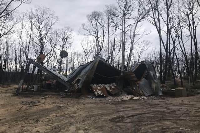
Resilient Australia - Identifying The Scale Of Hazards Around The World

Resilient Australia - Identifying The Scale Of Hazards Around The World

Lesson 4 of 10 in this unit

  • Secondary
  • Year 7 - 8
  • Humanities and Social Sciences
  • Geography
  • Environmental
  • Disaster resilience
  • Social
  • Leadership
  • Social Action
  • ...

Lesson summary

Students will investigate and explain the impacts of some of the world’s worst hazards and produce a mind map containing statistics regarding the frequency and impacts of natural hazards.

Learning intentions:

Students will...

  • recognise the scale of some of the world’s most significant natural disasters
  • explore the main impacts of fires or floods in Australia.

Success criteria:

Students can...

  • outline the frequency and severity of a natural hazard in Australia
  • produce a mind map containing statistics regarding the frequency and impacts of natural hazards, and present information that is engaging and relevant to peers.

Lesson guides and printables

Lesson Plan
Student Worksheet
Teacher Content Info

Lesson details

Curriculum mapping

Australian Curriculum content descriptions: 

Year 7 Geography:

  • Causes, impacts and responses to an atmospheric or hydrological hazard (ACHGK042).

Year 8 Geography:

  • Causes, impacts and responses to a geomorphological hazard (ACHGK053).

Syllabus outcomes: GE4-2

General capabilities: Literacy

Cross-curriculum priority: Sustainability

Relevant parts of Year 7 Geography achievement standards: 
Students investigate how people value the environment in different ways and that the environment has its specific hazards. Water is investigated using studies drawn from Australia.
A framework for developing students’ geographical knowledge, understanding and skills is provided through the inclusion of inquiry questions and specific inquiry skills, including the use and interpretation of maps, photographs and other representations of geographical data.

Relevant parts of Year 8 Geography achievement standards: 
Students investigate how people value the environment in different ways and that the environment has its specific hazards. A framework for developing students’ geographical knowledge, understanding and skills is provided through the inclusion of inquiry questions and specific inquiry skills, including the use and interpretation of maps, photographs and other representations of geographical data.

Time required: 80 minutes.

Level of teacher scaffolding: Medium – facilitate small group work and class discussion.

Resources required

  • A device and software capable of creating a mind map OR sheets of A3 paper
  • Student Worksheets – one copy per student

Skills

This lesson is designed to build students’ competencies in the following skills:

  • Communication
  • Creativity
  • Critical thinking
  • Cultural understanding
  • Empathy
  • Collaboration

Additional info

We encourage you to undertake the free PD Course How to teach a unit on fire and flood resilience for tips on how to best deliver this lesson.

If you’re concerned about the challenging nature of these topics, consider the free PD Course How to approach trauma in the classroom for information on how best to support your students.

This lesson was made in partnership with
Minderoo Foundation (www.minderoo.org).

lesson saved in resources

Save

Download

Share

More from this unit

See all
See all

Related content

Loading content...
Loading content...
Loading content...
Loading content...