Presentation Summary
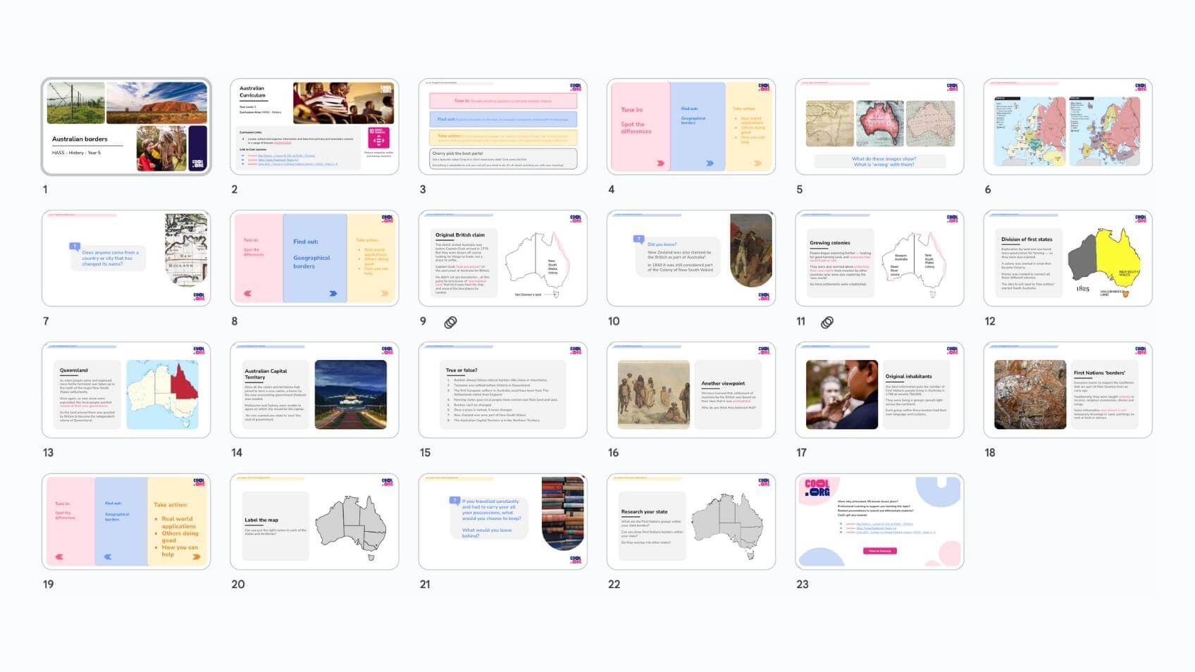
Australian state borders did not all appear at once. Discover how these boundaries evolved over time. There were major influences on where they were drawn on the map and how they came to be. How would you have done it?
Accessing the file:
- Click the 'download' button and choose either Microsoft PowerPoint or Google Slides.
- Edit the presentation to suit your teaching style.
- Members must have an active Cool+ subscription to access the presentation.
- View the entire catalogue of Presentation Slides here.
Curriculum links
- Locate, collect and organise information and data from primary and secondary sources in a range of formats (AC9HS5S02)
Welcome back!
Don't have an account yet?
Log in with:
Create your free Cool.org account.
Many of our resources are free, with an option to upgrade to Cool+ for premium content.
Already have an account?
Sign up with:
By signing up you accept Cool.org's Terms and Conditions(Opens in new tab) and Privacy Policy(Opens in new tab).