Loading page...
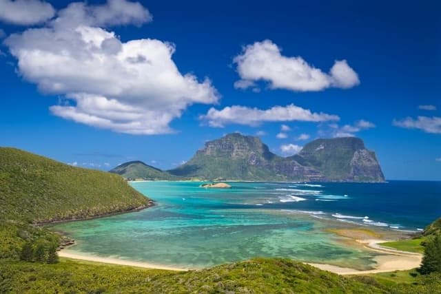
Lord Howe Island - An Introduction
Lesson1 of 4 in this unit
PrimaryYear 5 - 6Humanities and Social SciencesGeographyEnvironmentalBiodiversityConservationLand Management
Lesson Summary
Students are introduced to Lord Howe Island. They begin by thinking about what an island is before locating Lord Howe Island on a map. They then work in groups to create their own map of Lord Howe Island that includes information about climate conditions, plants and animals, human infrastructure and natural geographical features. Students share their map with peers before creating a Padlet to record this information as a personal reference resource (the Padlet will be referred to and built upon during subsequent lessons in this unit). Finally, if students are completing all the lessons in this unit they will be asked to begin designing their own island.
Learning intentions
Students will:
- understand what an island is
- recognise some of the key features of Lord Howe Island
Success criteria
Students can:
- locate Lord Howe Island on a map
- undertake and communicate research around the geography and natural features of Lord Howe Island
- create their own map of Lord Howe Island incorporating natural geographical features and using BOLTSS conventions
- think creatively about their own island designs and design an island that includes natural geographical features (optional)
Lesson Guides and Printables
Loading…