Loading page...
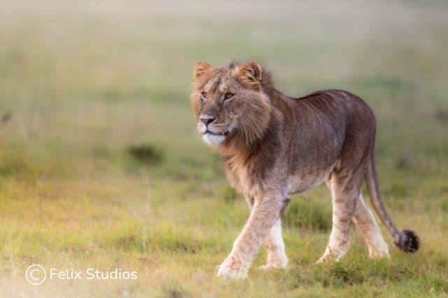
Mufasa’s Journey
Lesson1 of 10 in this unit
PrimaryYear 3MathematicsMeasurementHumanities and Social SciencesGeographyEnvironmentalConservation
Lesson Summary
Students will explore Mufasa's journey using Google Maps and plot a similar-length journey in Australia. They examine satellite imagery to identify different landscapes that Mufasa would travel on his journey and identify how fragmented habitats could be improved through wildlife corridors.
Learning intentions
Students will:
- understand that animals need to travel for food, water and shelter
- know that wildlife corridors can help address habitat fragmentation
- recognise Google Maps as a tool for mapping and planning journeys.
Success criteria
Students can:
- create and edit maps
- explain some of the features and visual elements of Google Maps
- demonstrate how habitat fragmentation could be addressed through wildlife corridors.
Lesson Guides and Printables
Loading…