Loading page...
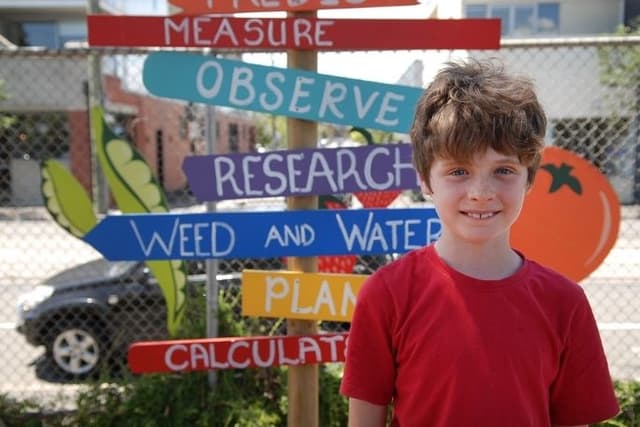
Roots & Shoots - Observe Your Neighbourhood
Lesson6 of 8 in this unit
PrimaryYear 3 - 6Humanities and Social SciencesGeographyEnvironmentalBiodiversitySocialOutdoor Learning
Lesson Summary
Students create a map of an area of their neighbourhood. Students begin by clarifying their understanding of key terms relating to this lesson and then work as a class to consider the information that standard maps (such as Google Maps) do or don’t contain, and work in groups to develop a series of questions to help guide their observations on a walk. They then take a walk around a part of their neighbourhood to identify and record key human-made, animal and environmental features. Back in the classroom, students work in groups or as a class to create a map of their neighbourhood that incorporates the features they identified. Finally, students reflect on how some of the features of their neighbourhood could be improved.
Learning intentions
Students will:
- understand the differences between human-made, animal and environmental features
- understand how a map can be used to portray a range of information
Success criteria
Students can:
- collect data about their neighbourhood
- identify and locate features on a map
- annotate maps according to mapping conventions
- work collaboratively
Lesson Guides and Printables
Loading…